


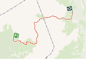

4.6 km | 8.5 km-effort


Tous les sentiers balisés d’Europe GUIDE+


FREE GPS app for hiking
 SityTrail
IGN / Geographical institutes
SityTrail World
The world is yours!
Trail On foot of 6.3 km to be discovered at Veneto, Belluno, Taibon Agordino. This trail is proposed by SityTrail - itinéraires balisés pédestres.
Trail created by Club Alpino Italiano.
Symbol: Red & White flag


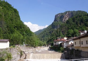

On foot
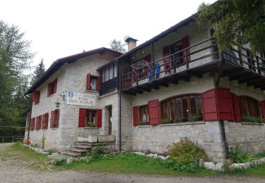
On foot


On foot

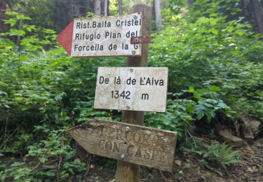
Walking